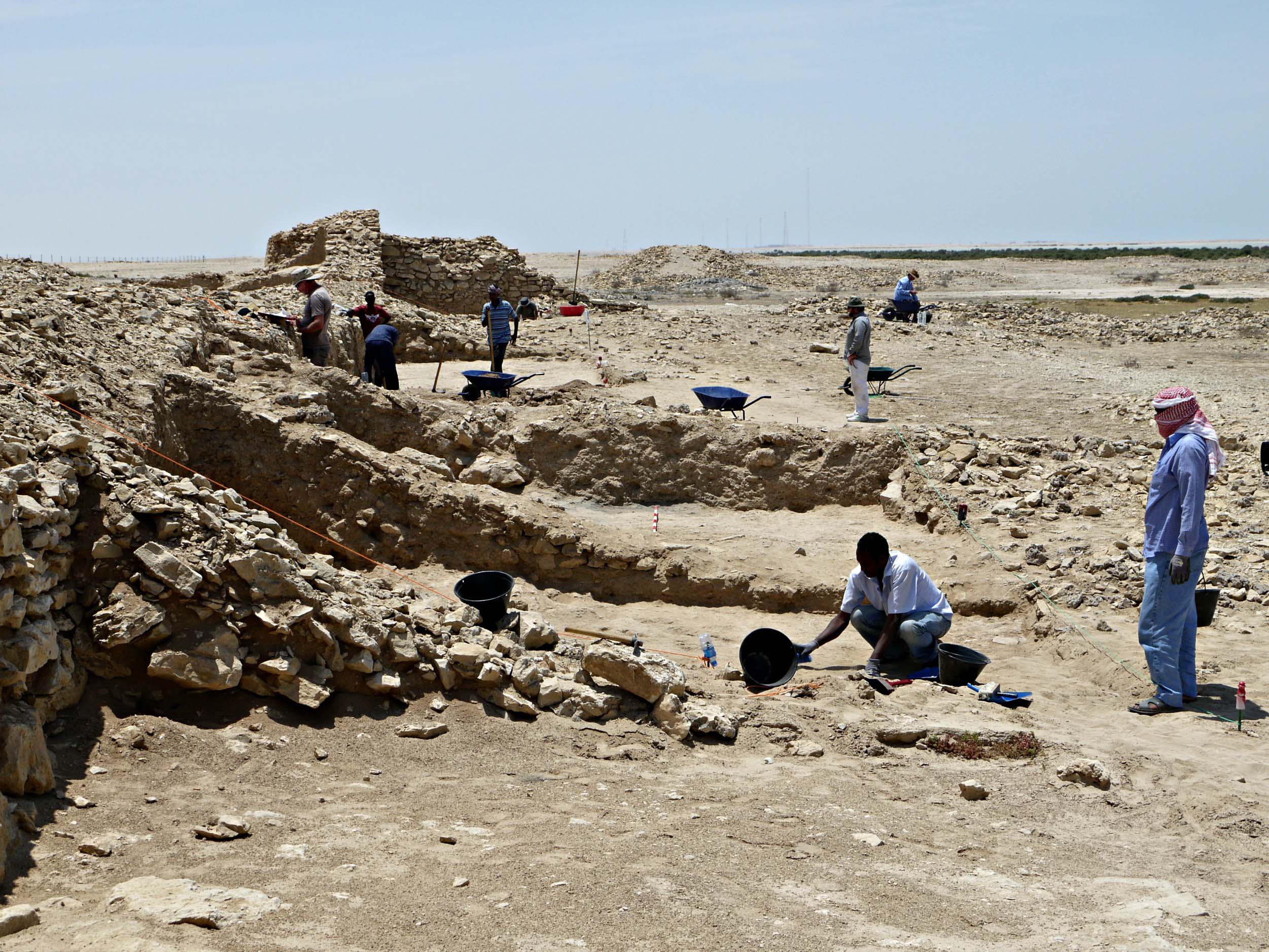
In an effort to find out more about one of the country’s earliest urban settlements, researchers in Qatar have been using drones to photograph and map more than 220 acres of ruins in the northern tip of the country.
Archaeologists say the ruins being unearthed at Ruwayda, located some 10km southwest of Al Ruwais, have been helping to advance historians’ understanding of the various settlers who inhabited Qatar in recent centuries, and could ultimately lead to the development of a significant tourist attraction.

So far, two mosques, a series of warehouses, large courtyard homes, a palace and pottery from China, Iran and Saudi Arabia have been unearthed. Archaeologists have also uncovered what is believed to be Qatar’s largest fort, which is thought to date back to the 16th century.
In comparison, the better known coastal town of Al Zubarah flourished in the late 18th and early 19th centuries, according to UNESCO, which designated it a World Heritage site in 2013.
History
The ruins found at Ruwayda suggest the area was a trading hub, and a settlement with a relatively sizable population.
This indicates that it was likely a town or even a city, rather than one of the smaller villages found elsewhere in northern Qatar, said Andrew Petersen, a professor of Islamic archaeology at the University of Wales Trinity Saint David.

Speaking to Doha News, Petersen said there was little to no historic information about the site until archaeologists began excavation efforts some six years ago, at the invitation of Qatar Museums and its head of archaeology, Faisal al-Naimi.
“It’s quite unusual in archeology to work on a site that is this big but with very little known about it,” Petersen said.

Archaeologists began unearthing the site, which stretches along a 2.5km stretch of beach adjacent to a shallow bay, in 2009. After a one-year hiatus, they resumed work in 2011 using traditional tools of their trade, namely pickaxes, shovels, spades and hand trowels.
Last year, however, researchers returned with a more high-tech piece of equipment: an unmanned aerial vehicle, or drone, that’s already snapped more than 6,000 aerial images of Ruwayda.
Drone usage
The images have allowed Petersen and his colleagues to produce detailed three-dimensional maps, which give archaeologists a wider visual context of the site.
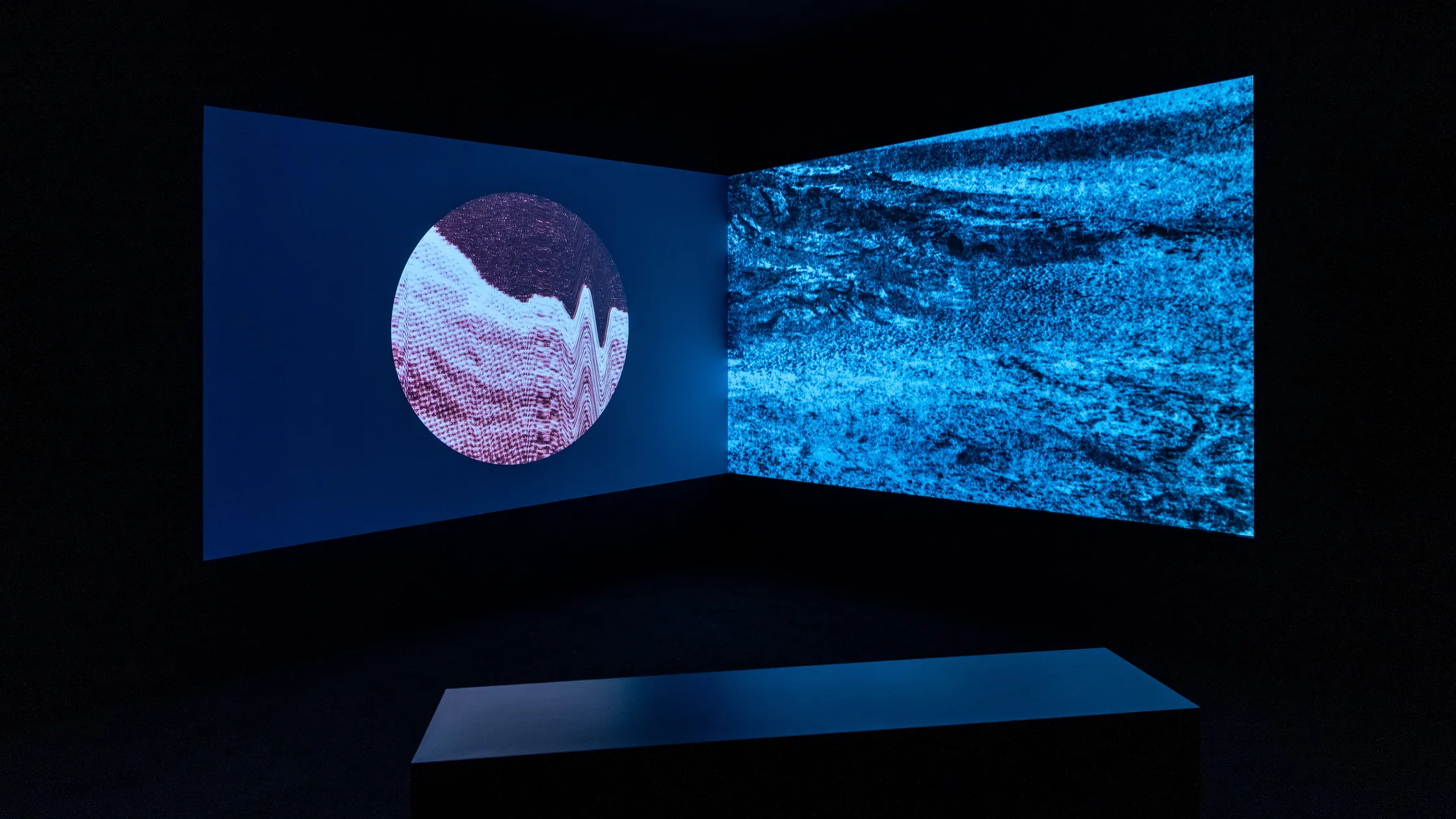
The drone has also been outfitted with a thermal imaging camera that shows structures beneath the surface that have yet to be uncovered, almost like a X-ray. This assists archaeologists by allowing them to focus their digging on areas of high potential.
“We’re peeling back the rubble,” Petersen said.

But Petersen is hoping the drone will serve as more than a valuable research tool. He said the images could also generate more interest in Qatar’s archeological history among residents and visitors.
The drone initiative was financed by Qatar Foundation under its “Visualizing Qatar’s Past” project, which aims to explore new ways of presenting the country’s history.
One example under consideration is turning the 3D images of Ruwayda into a large-scale model, an initiative being worked on by a team at Virginia Commonwealth University in Qatar.
“Archaeologists often think what they do is self-evident … (but) often can have challenges getting their findings across to people with either no interest or no background,” Petersen said.
“It’s important to think about how we communicate (the results of our work) and generate an interest.”
Ottomans
Petersen admits he was somewhat underwhelmed the first time he visited Ruwayda, which means “grazing area” or “little garden area” in Arabic.
“When I got to the site, all I saw was a few bumps, surrounded by rubble. In one sense, it didn’t look very promising at all.”

However, the size of the site as well as the volume of pottery shards on the surface quickly piqued Petersen’s interest, he said.
The archaeologist said he also hoped Ruwayda could hold clues as to whether the Ottoman Empire ever actually occupied Qatar in the 1500s, which is a matter of historical debate.
When the Ottomans came to the region in the 1800s, they claimed to have some jurisdiction over Qatar, Petersen said. This was based primarily on 16th century documents that included Qatar in one of the Ottomans’ administrative districts, he said.
However, whether the Ottomans ever actually maintained a presence in Qatar is not clear. Petersen theorizes that the large fort in Ruwayda will not contain evidence of an Ottoman settlement in Qatar.
Instead, he believes the fort was initially constructed by the Portuguese in the 16th century.
Answers in the fort
One of the primary indicators of this is a solid, round tower on one of the fort’s corners that faces the sea. Building such a tower, which could support a cannon as well as deflect barrage fire, was a European fortification technique of the time.

“Whoever built it likely had access to heavy artillery,” Petersen said, adding that this would effectively rule out Arabs from the period. Additionally, the design doesn’t match Ottoman fortification techniques from that time.
According to what’s been unearthed, the fort appeared to have been expanded in the early 1700s to include a garden, two wells and a small palace. The new outer walls were relatively thin, at less than a meter thick, and featured rectangular guard towers.
Curiously, there is evidence that the fort was subsequently reduced in size in the late 1700s or early 1800s. Some of the walls were knocked down and the material reused to make the remaining walls thicker.
Despite containing imitations of an Ottoman architectural style, Petersen said that once again, the evidence points to a different group.
“If the Ottomans came here as soldiers and conquerors, I don’t think they would have built something so grandiose, such as a garden,” he theorizes. “It would have been more functional, and the style of the building would have been much stronger. They wouldn’t have built these flimsy walls.”
Petersen said he hypothesizes that migrating Arab tribes from Kuwait found a fort abandoned by the Portuguese and repaired it before expanding it.
While the reasons behind the later retrenchment remain somewhat of a mystery, Petersen speculated that Ruwayda’s inhabitants may have felt threatened and needed to better fortify the settlement.
The site appears to have been abandoned in the 18th century, around the same time that Al Zubarah was founded some 15km to the southwest.
Future plans
Petersen said he believes that five more years of work by archaeologists should uncover a sufficient amount of material to make Ruwayda of interest for visitors.

In the long term, he said he supports the development of the site in a way that is “sympathetic to the environment” and allows visitors to learn more about the piece of Qatar’s history.
As a model, he pointed to Bahrain’s Tree of Life Visitor’s Center. It shields a 400-year-old tree – the only major plant growing in the area – behind a circular fence that also serves as a walkway, which allows visitors to “contemplate the tree from a distance,” Bahrain’s Authority for Culture and Antiquities says.
Petersen said Ruwayda holds great tourism potential as a natural and cultural attraction. Its mangroves – which reflect the fresh water that attracted settlers in the first place – are calming and invite contemplation, he said.
“It is easy to get a feeling of what it would have been like to live there.”
Thoughts?


