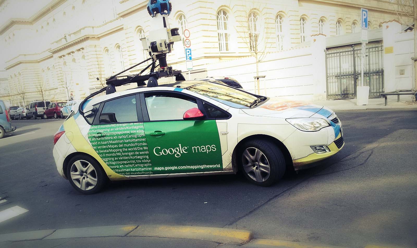
Technology giant Google has signed a deal to bring its Street View feature to Qatar, providing residents an on-the-ground look at different locations around the country.
In a statement on its website this week, the Ministry of Municipality and Urban Planning (MMUP/Baladiya) said authorities met with a senior Google official to discuss the technology, which stitches together photographs of a location that are taken primarily from cameras mounted on cars.

Currently, the Museum of Islamic Art is the only location in Qatar to offer a Google “street view,” with a panoramic look at each of the building’s three floors.
The MMUP said it has signed a memorandum of understanding with Google, which will negotiate terms with the ministry’s Center for GIS.
In recent years, Qatar’s official geospatial agency has also been tasked with implementing the blue address plate system across the country and is currently producing a digital database of the nation’s topography.
Google will need to work with CGIS to obtain permission from authorities to survey the streets before producing the panoramic images, MMUP said.
No timeline about the launch of the Street View program was given.
Privacy concerns
Google Street View was launched in the US in 2007 and has expanded to include areas around the world, though coverage in the Gulf region in particular has been limited to non-existent.

This is likely due to privacy and security concerns.
In the past, Google has run into trouble with other nations over Street View images. In 2011 for example, the company had to reshoot photographs in Japan after the cameras it mounted to cars were deemed “too high,” allowing them to see over walls into private homes.
In response to complaints, Street View now blurs faces and license plates, as well as homes upon request. Images can also be flagged to Google as inappropriate or sensitive.
Streets with Street View imagery available are shown as blue lines on Google Maps.
Would you use the technology if it came to Qatar? Thoughts?


