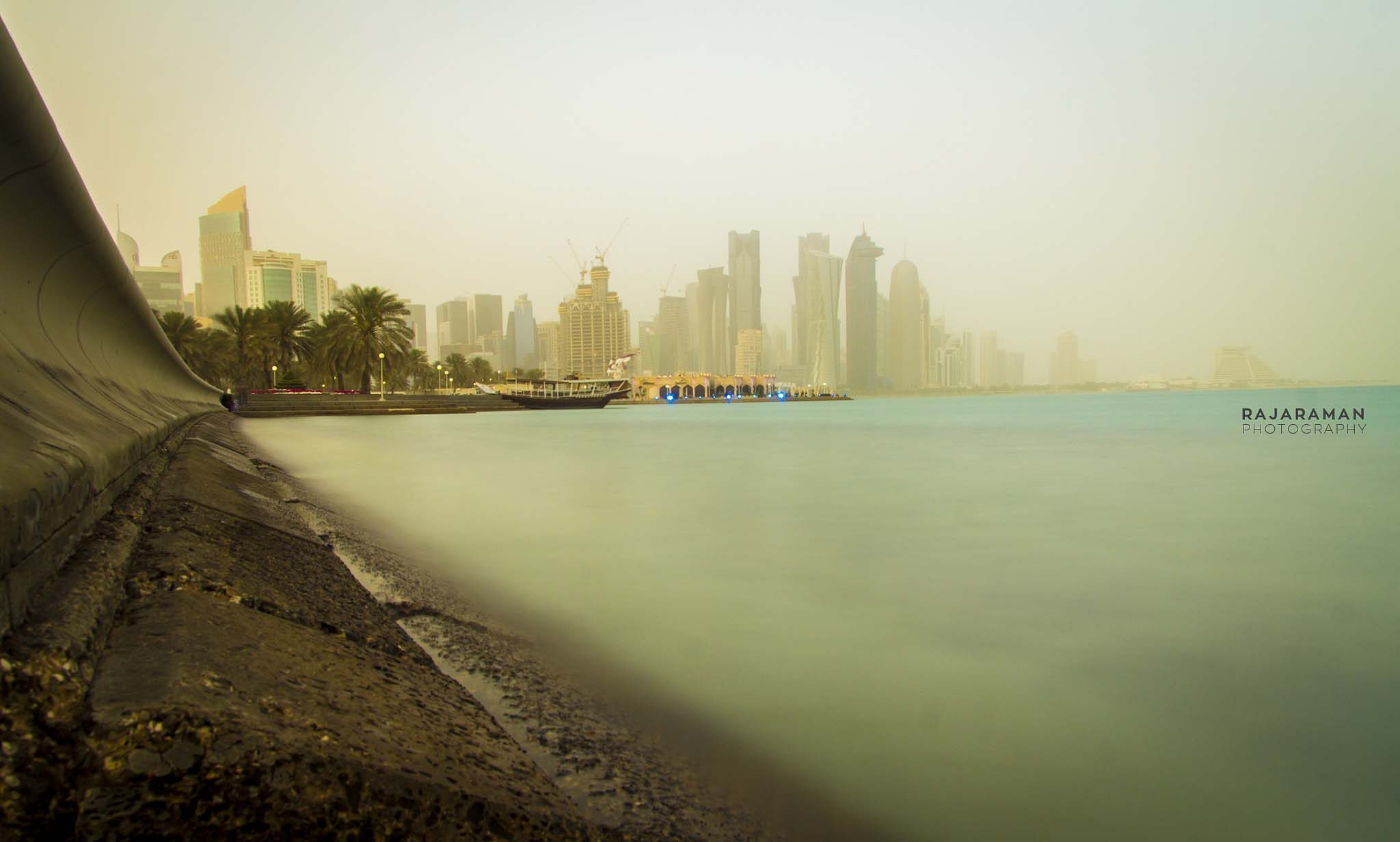
Another sandstorm is set to cover Qatar, with “strong dust” and winds of up to 38 knots (70kph) forecast from today, July 6, until at least Wednesday.
Qatar Meteorology Department has issued a weather warning today for “low horizontal visibility” as dust and high winds are expected across the country.
Northwesterly winds will be between 18-28 knots, rising to 38 knots in some parts of the country, although they will drop to 10-17 knots by night.
In a statement issued in Arabic this morning on Twitter, the MET cautioned motorists to take extra care on the roads, due to blowing sand:
أسعد الله صباحكم بكل خير
نرصد الآن نشاطاً في سرعة الرياح.
🔴 يرجى من مرتادي الطرق الخارجية توخي الحيطة والحذر بسبب الرمال المثارة.
— أرصاد قطر (@qatarweather) July 6, 2015
The poor visibility, dust and winds are forecast to continue through much of the rest of the week. The MET previously warned that, starting today, the windspeed would pick up from fresh to strong and prevail throughout the week due to the effects of the Indian monsoon.


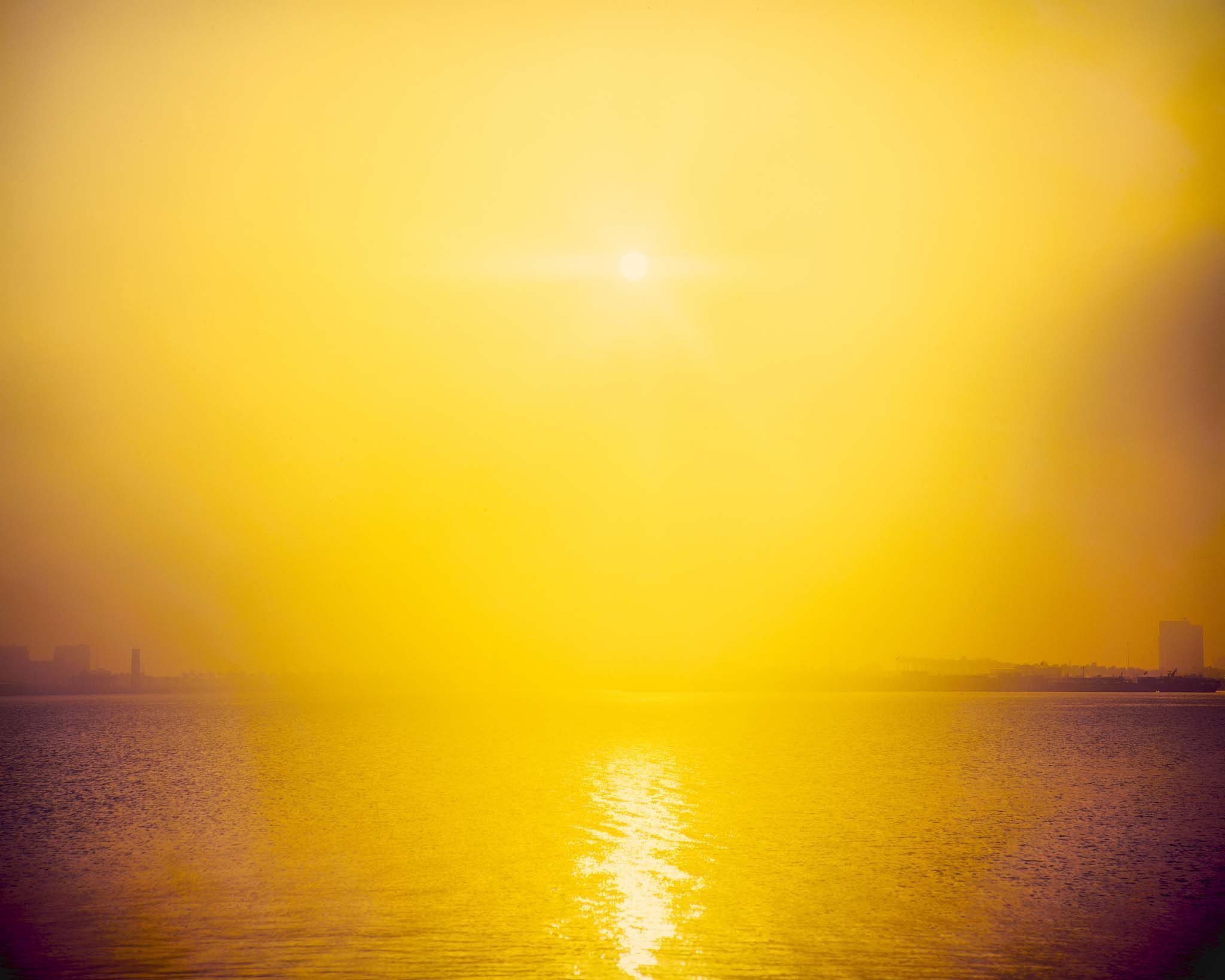
Temperatures this week are expected to reach a high of 43-44C (111F) by day in Doha, with humidity rising to 65 percent in some parts of the country.
According to Steff Gaulter, senior meteorologist for Al Jazeera English, high humidity usually settles over Doha from the middle of July until around mid-September.
However, she told Doha News it is also common to have short periods of very humid conditions before then, depending on the wind direction. Winds that come from the East usually bring with them humidity, while Northwesterly winds from Kuwait and Saudi are more often dry.
On dusty days such as the ones we’re seeing lately, the water droplets can condense onto the dust, making the air seem hazier than usual, she added.
Hotter summer
And residents should prepare themselves for a summer that’s set to be hotter than usual. According to the MET’s longer-range forecast, temperatures in Qatar and across the Gulf are expected to be higher than normal for July, August and into September.
Earlier this year, the MET predicted hotter temperatures for longer than normal this year, due to the climate pattern known as El Niño.
This phenomenon describes a change in trade winds across the Pacific Ocean that accompany increases in sea temperature, which can lead to extreme weather conditions across the globe.
In addition to heating up the Gulf, the fluctuations in sea temperature and wind speeds could cause droughts in Australia and Indonesia.
The effects also extend to the Americas, which could see heavy rains and flooding.
In an advisory published in May this year, the US government’s Climate Prediction Center (CPC) put the likelihood of El Niño’s return at around 90 percent.
Thoughts?